
This book offers a way of reading maps of the Holy Land as visual imagery with religious connotations. Through a corpus of representative examples created between the sixth and the nineteenth centuries, it studies the maps as iconic imagery of an iconic landscape and analyses their strategies to manifest the spiritual quality of the biblical topography, to support religious tenets, and to construct and preserve cultural memory.
Tag Archives: Maps
Seminar: Yossef Rapoport, ‘Lost Maps of the Caliphs’, 5pm (UK), 11 June 2020, lecture by Zoom

About a millennium ago, in Cairo, someone completed a large and richly illustrated book. In the course of thirty-five chapters, our unknown author guided the reader on a journey from the outermost cosmos and planets to Earth and its lands, islands, features and inhabitants.
Resource: Academic Illustrating Services
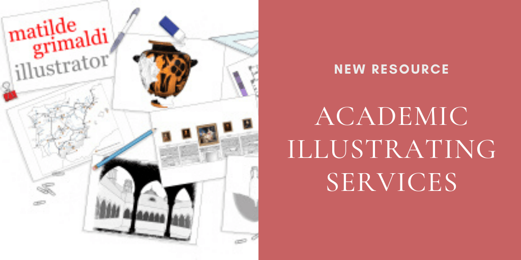
A drawing is more persuasive than a thousand words: even a simple reconstruction will strengthen your ideas and make them tangible. The illustrating service I offer is addressed to academics, researchers, museums, cultural institutions and publishers, mostly in archaeology and art-related subjects, but also in any other field which requires drawings.
Upcoming Event: London Medieval Society Meeting- Forging Ahead (November 14, 2015)
The first London Medieval Society Colloquium of the new academic year welcomes Dr Alfred Hiatt as the Society’s new President. To celebrate the program explores themes central to his research: – Medieval Forgeries, Medieval Maps, Places and Spaces Speakers are: Catherine Delano-Smith on understanding medieval maps; Leonie Hicks on medieval voyaging; Marianne O’Doherty on medieval ideas of the Indian Ocean;Continue reading “Upcoming Event: London Medieval Society Meeting- Forging Ahead (November 14, 2015)”
CFP: Defining Otherness in Medieval Maps, International Congress on Medieval Studies, Kalamazoo 2016, deadline 18 September 2015

Medieval maps – from mappaemundi to elaborately decorated nautical charts – provide abundant and rich evidence for the ways in which European cartographers viewed, framed and represented other peoples. This panel seeks papers that bring new materials and new insights to this field of study. We hope for papers exploring depictions of otherness, including foreignersContinue reading “CFP: Defining Otherness in Medieval Maps, International Congress on Medieval Studies, Kalamazoo 2016, deadline 18 September 2015”
Call for Papers: Cartography between Europe and the Islamic World 1100 – 1600 (London 2014)
Call for Papers Cartography between Europe and the Islamic World 1100 – 1600 London, Queen Mary, University of London, September 8-9, 2014 Deadline: 21 February 2014 The Leverhulme Network ‘Cartography between Europe and the Islamic World’ aims to promote comparative, cross-disciplinary scholarship on Islamic and European cartography by bringing together experts in these two fields forContinue reading “Call for Papers: Cartography between Europe and the Islamic World 1100 – 1600 (London 2014)”
